The Creek as an urban connection
Dubai Creek has no single architectural identity. Historic neighbourhoods, shopping and dining destinations, cultural institutions and contemporary housing face the same water system. The difference begins with scale: a narrow passage between low-rise houses, an open promenade and space between modern buildings create different routes. Getting to know the Creek therefore means exploring several distinct places rather than one long, uniform waterfront.
Al Fahidi: the city at alley scale
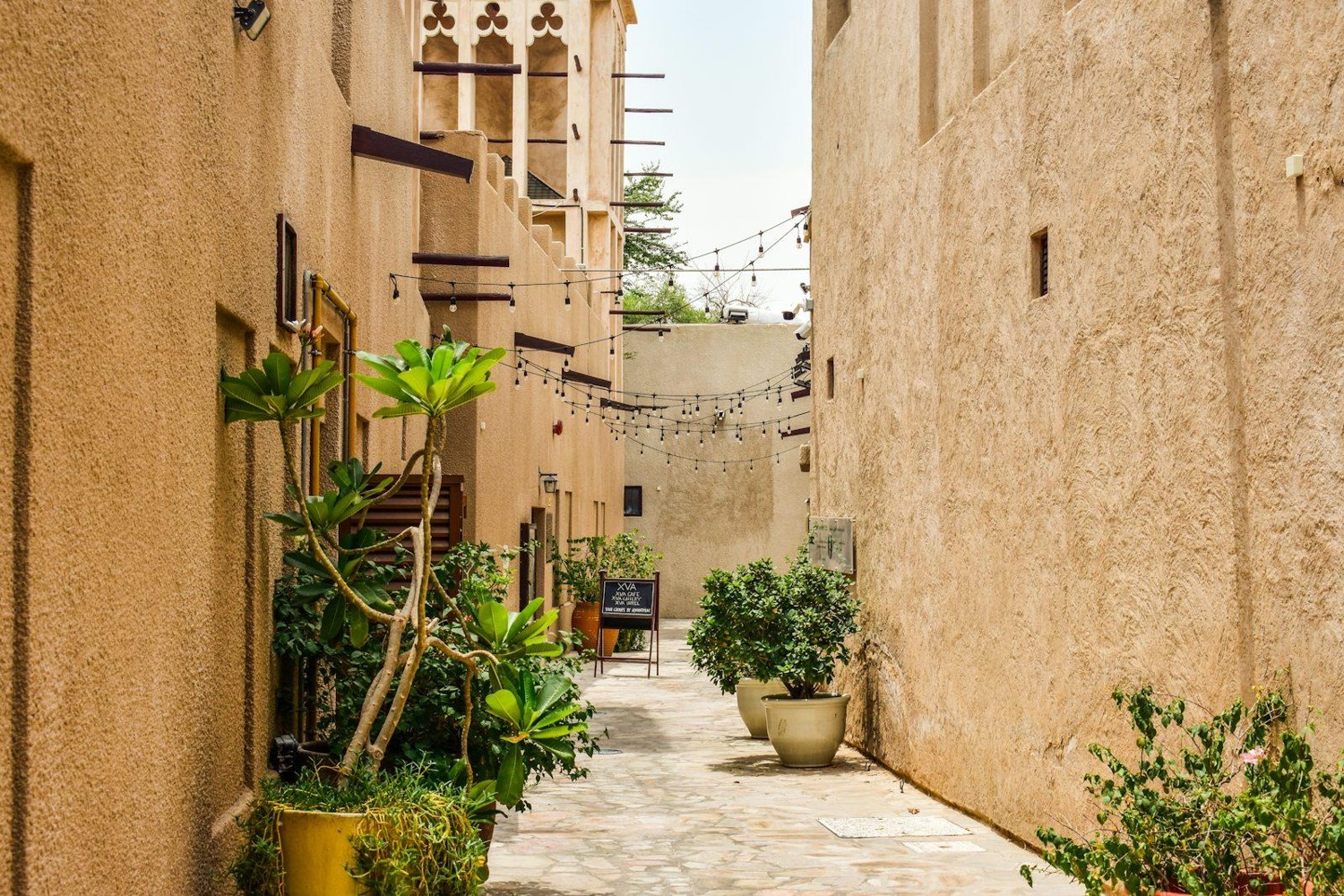
Al Fahidi reflects traditional life in Dubai from the mid-nineteenth century to the 1970s. Tall wind towers rise above low buildings, with alleys, pathways and small squares between them. The limited number of high, narrow street-facing windows relates to privacy. Today, buildings accommodate galleries, specialised museums and cultural organisations. The waterfront context connects with an inward-looking neighbourhood life in which courtyards, entrances and turns in the passages matter.
Al Seef: a new promenade using traditional motifs
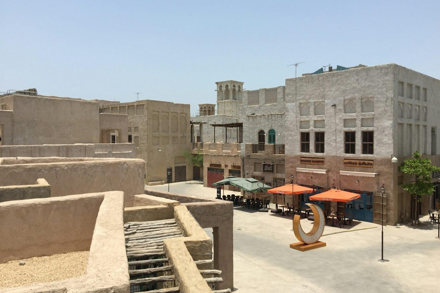
Al Seef combines shops, restaurants, hotels and a walking waterfront beside the historic centre. It is a contemporary development working with traditional scales and architectural motifs. In its contemporary area, small pavilions, passages and courtyards divide a large destination into more intimate spaces. A shared material palette connects different buildings. The promenade becomes a destination for walking and meeting, with architecture supporting a mix of retail, dining and hotel life.
Jaddaf Waterfront: contemporary art beside the water
Jameel Arts Centre is a distinctive cultural destination at Jaddaf Waterfront. Opened in November 2018, it is an independent contemporary arts institution with exhibitions, research and learning programmes. Galleries are complemented by the research-focused Jameel Library, project spaces, a restaurant and a shop. This waterfront offers another reason to stay: engagement with contemporary art and regional cultural research rather than a historic reconstruction or a shopping street.
Creek Harbour: a residential masterplan
Dubai Creek Harbour is organised as a contemporary residential district with apartment buildings, hotels, promenades, parks and a marina. The Viewing Point and Creek Beach add public destinations. Water belongs to the scale of a large masterplan rather than a network of historic alleys. Different parts of the district relate to residential buildings, open spaces and approach roads; the character of an individual street depends on its position within that structure.
Shoreline, lagoon and natural habitat
The surroundings of Creek Harbour contain different water environments. Creek Beach is associated with a man-made lagoon, while Ras Al Khor is a separate natural area. A promenade, a swimming setting and a protected habitat serve different purposes. This distinction helps explain the map: water beside a building may belong to the urban landscape, organised recreation or a natural ecosystem. Proximity does not turn these shorelines into a single shared beach destination.
Different reasons to go to the water
A historic neighbourhood, restaurant promenade, arts centre and residential masterplan have different rhythms. In Al Fahidi, a walk leads away from the water into alleys and cultural spaces. In Al Seef, it connects with waterfront venues and hotels. At Jaddaf Waterfront, an exhibition or library can be the destination. In Creek Harbour, public spaces form part of a residential setting. These experiences complement one another when exploring the city without being interchangeable.
From an impression to a setting
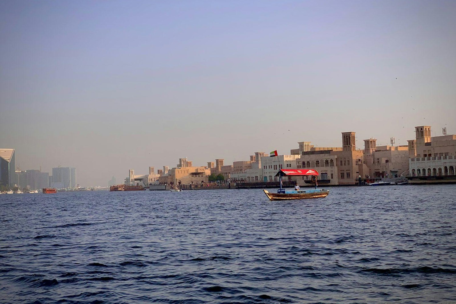
The Creek's interest lies in its variety: historic urban fabric, a contemporary interpretation of tradition, contemporary art and a large residential district reveal different sides of Dubai. Choosing a home adds a specific address, property type and everyday journeys to that wider impression. Photographs in this article show individual places and architectural details from different years. They help distinguish the settings rather than documenting the present condition of every stretch of shoreline.